

Mumbles Hill and Caswell Bay
A popular walk enjoyed by locals and visitors...
Enjoy a walk with a variety of habitats based dunes and wooded areas
Paddy Dillon
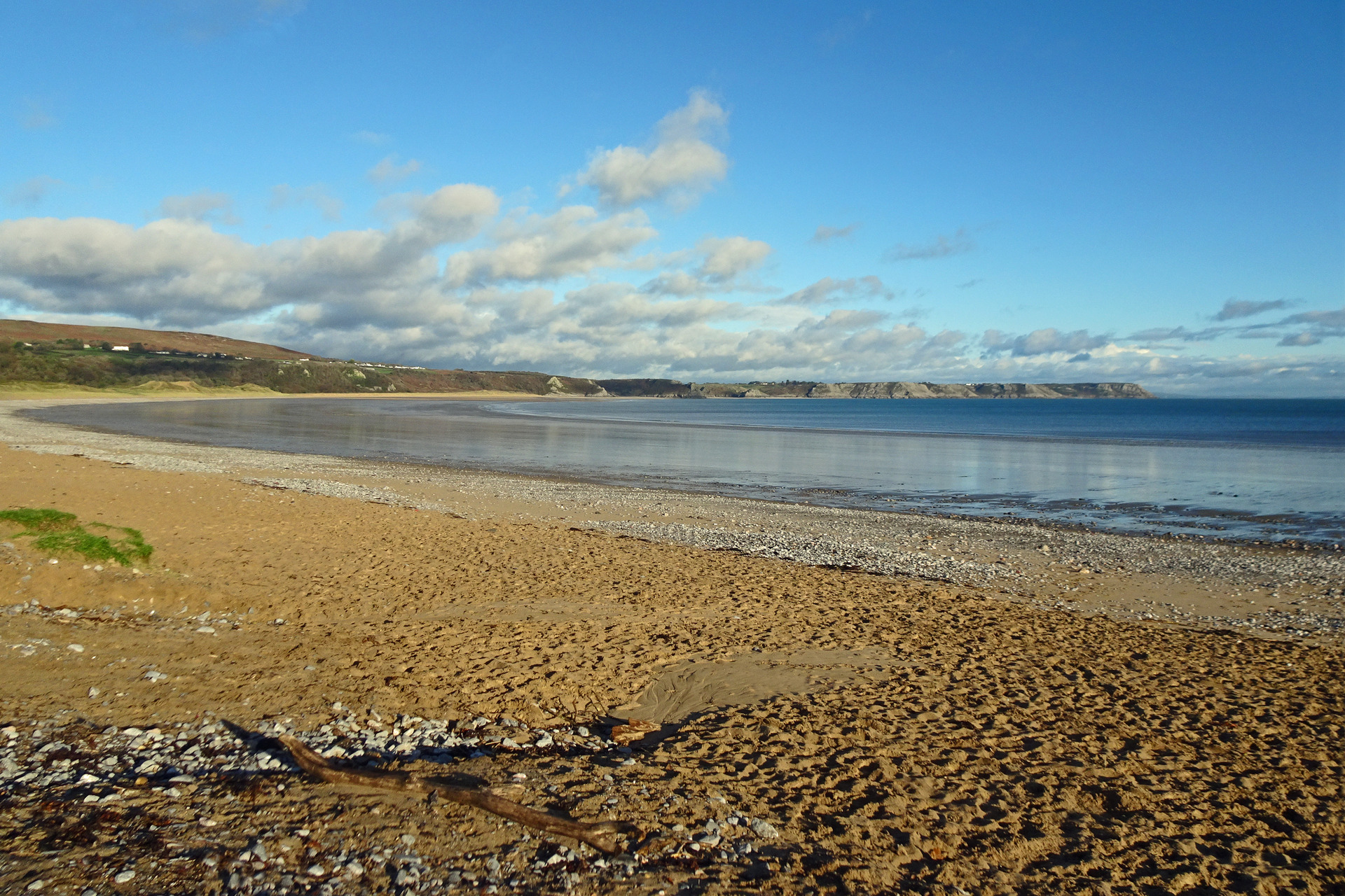
A walk from the tiny village of Oxwich explores the Oxwich National Nature Reserve. This area contains a variety of habitats, based on the dunes of Oxwich Burrows and the steep limestone slope covered by Nicholaston Wood. The Wales Coast Path runs straight through the reserve and can be used to reach two remarkably varied circular walks.
Distance: 5 miles or 8.1 kilometres
Start location: Oxwich beach car park
Start Grid Ref: SS 50103 86549
Start What 3 Words: squirted.system.club
Parking
Parking at Oxwich beach.
Bus
Daily bus services, except Sundays, link Oxwich with Killay and other destinations around Gower.
Train
None.
The circular route is marked in dark pink in the map image below. The purple flags show the start and finish point. View the route and download GPX link 'Oxwich'

1. Start at the Oxwich beach car park, or if arriving by bus, start at the bus shelter at a nearby crossroads and walk past the Dunes coffee shop to reach the entrance to the Oxwich beach car park. As soon as you enter the car park, there is a narrow path heading off to the left, leading through bracken and bushes. This runs parallel to the road and soon reaches a kissing gate, where a Wales Coast Path signpost stands near a noticeboard explaining about the Oxwich National Nature Reserve. A map shows the course of the ‘Beach and Dunes Walk’ around Oxwich Burrows, waymarked in blue, and the ‘Nicholaston Woods Walk’, waymarked in yellow. Both of these routes will be walked together, with slight variations along the way.
2. Follow blue waymark arrows through vegetated sand dunes, passing bushy and wooded areas. Another Wales Coast Path signpost points ahead, near another reserve noticeboard. Keep to the right of a wooden-fenced enclosure to follow a grassy and sandy track. Pass a gateway, and later the track forks and a blue arrow points to the right. Later still, after passing through a patch of woodland, blue marker arrows again point right. Keep walking onwards as marked through the dunes, later passing through a kissing gate. The path is narrow as is weaves between the dunes, reaching a map board. (The route will return to this point later, but if a shorter walk is required, turn right at this point and head directly to the beach, effectively halving the distance.)
3. Turn left as marked by a green arrow, which indicates a link between the blue waymarked trail and the yellow waymarked trail. The Wales Coast Path used to cross a footbridge nearby, but this was dismantled and two new footbridges were constructed across two tidal channels. Cross only the first of these footbridges then turn left to leave the Wales Coast Path, again as marked by a green arrow. Cross a stone bridge over a reed-fringed drainage channel and follow a gravel track along the foot of a wooded slope. The track drifts into Nicholaston Woods and rises gently. After a short and gentle descent, the track rises slightly to a junction. There is no marker here, but turn sharp right up another track. (This turning can be short-cut if a path is spotted climbing on the right shortly before the junction.)
4. The track quickly becomes a path, rising and falling across the slope as it runs through Nicholaston Woods. Eventually, a platform is reached where views stretch from Three Cliffs Bay and Pwlldu Head to Oxwich Point, from a point directly above the two footbridges used by the Wales Coast Path. The path continues across the wooded slope and is quite bendy, as well as having been cut out of the limestone bedrock in places. A junction is reached where a yellow arrow indicates a right turn, heading downhill. The same thing happens further downhill, where another path junction has a marker post with a yellow arrow pointing right.
5. At the next path junction there is a choice of routes. The yellow-marked path turns right, but shouldn’t be followed any further. Instead, either turn left downhill as marked by a green arrow on a post, or turn left uphill along an unmarked path. The green waymark indicates a short-cut down through the woods, passing a map board and quickly reaching a junction with the Wales Coast Path. If taking this option, turn right along a sandy path to continue along the Wales Coast Path. If the unmarked path is followed, it generally climbs and cuts across a steeper, less wooded slope with limestone cliffs above and below. A descent leads to a junction where a sharp right turn leads onto the Wales Coast Path. Follow the sandy paths marked as the Wales Coast Path, as there are many other paths among the low-lying dunes of Nicholaston Burrows. Pass the point where the short-cut route joins and keep straight ahead.
6. Wales Coast Path markers show the way back to the tidal inlets where two footbridges need to be crossed, then a left turn leads back to a map board passed earlier in the walk. To finish, simply follow the sandy beach from all the way back to Oxwich. If the tide is in, walking on soft sand near the dunes will prove tiring. If the tide is out, the wet sand should be firmer underfoot. The sandy beach gives way to pebbles towards the end of Oxwich Bay. Step ashore at the beach shops to return to the car park. If there is time to spare, then follow the beach to a slipway to gain access to the Wales Coast Path at the Oxwich Bay Hotel and St Illtyd’s Church and explore further.

